Course Map
Five areas that make up ‘Sendai Half’
Areas that serve as bases for sports in Sendai
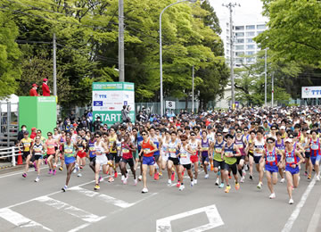 On the west side of Koshin Park Sendai, the starting point
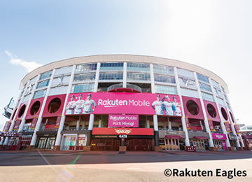 Rakuten mobile Park Miyagi
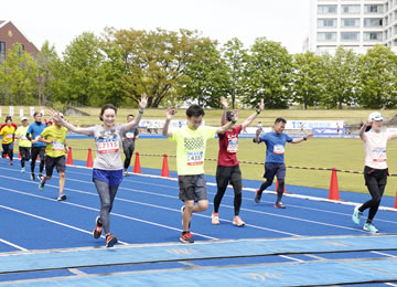 The finish point is in Koshin Park Sendai
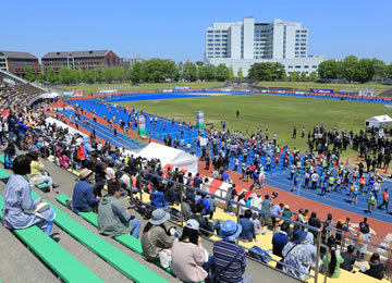 Koshin Park Sendai
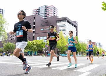
An area that runs through the center of Sendai
 Higashi Nibancho-dori Ave.(5.7㎞)
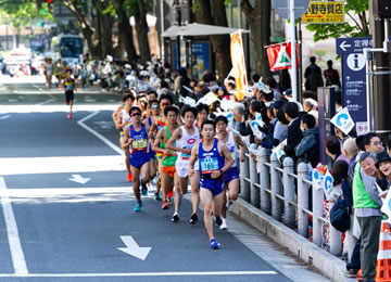 Aoba-dori Ave.(6.7㎞)
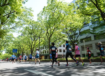 Aoba-dori Ave.(12.5㎞)
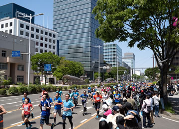 Higashi Nibancho-dori Ave.(12.7㎞)
An area where you can feel the history of Sendai
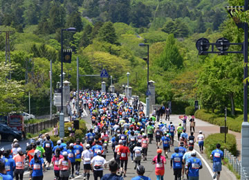 Ohashi Bridge(7.5㎞)
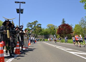 Sendai Castle Ote-mon Gate ruin(8.0㎞)
Area that runs through the ‘Jozenji-dori Ave.’
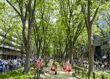 A fresh green tunnel continues in round trip about 1.4km
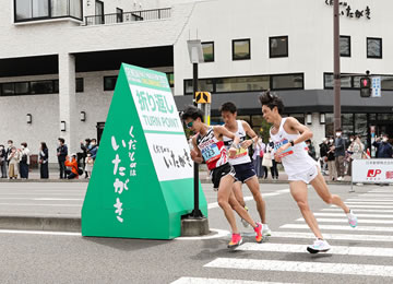
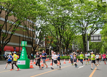 Turning Point 2(10.3㎞)
Sendai Station East Area
 Turning Point 3(17.6㎞)
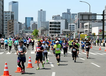 Nijuninmachi intersection(18.1㎞)
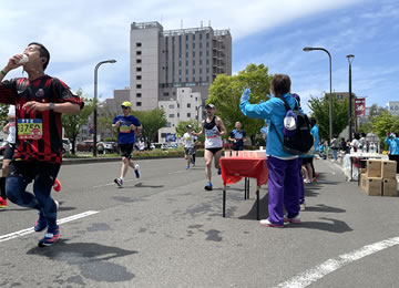 Water Suply Point 5(18.7km)
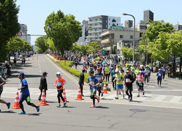 In front of ground Koban intersection(19.3㎞)
SPECIAL SPONSOR
OFFICLAL SUPPLIER
SPONSOR
OFFICIAL HOTEL
Copyright © SENDAI INTERNATIONAL HALF MARATHON, All Rights Reserved.